Latitude and longitude of St. Francis High School (Sacramento, California)
- Nearby North Highlands, United States
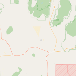
Satellite map of St. Francis High School (Sacramento, California)
St. Francis High School is a four-year, all-female college preparatory high school in Sacramento, California, USA. It is one of four Catholic high schools in Sacramento affiliated with the Roman Catholic Diocese of Sacramento, and draws students from over fifty private and public feeder schools in the California counties of Sacramento, Yolo, El Dorado and Placer.
Latitude: 38° 33' 22.19" N
Longitude: -121° 25' 29.99" W
Nearest city to this article: Rosemont, California
Read about St. Francis High School (Sacramento, California) in the Wikipedia Satellite map of St. Francis High School (Sacramento, California) in Google Maps


Leaflet | © OpenStreetMap contributors