Latitude and longitude of Parkway–South Sacramento, California
- Nearby North Highlands, United States
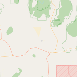
Satellite map of Parkway–South Sacramento, California
Parkway–South Sacramento is a former census-designated place (CDP) in Sacramento County, California, United States. It was part of the Sacramento–Arden-Arcade–Roseville Metropolitan Statistical Area. The area shared three boundaries with the City of Sacramento.
Latitude: 38° 30' 25.19" N
Longitude: -121° 27' 4.79" W
Nearest city to this article: Parkway, California
Read about Parkway–South Sacramento, California in the Wikipedia Satellite map of Parkway–South Sacramento, California in Google Maps


Leaflet | © OpenStreetMap contributors