Latitude and longitude of Selma, North Carolina
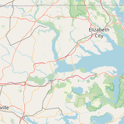
Satellite map of Selma, North Carolina
Selma is a town in Johnston County, North Carolina, United States. In 2010, the population was 6,073. Selma is part of the Raleigh-Durham-Cary Combined Statistical Area, and the Raleigh-Cary Metropolitan Statistical Area.
Latitude: 35° 32' 7.79" N
Longitude: -78° 17' 3.00" W
Nearest city to this article: Selma, North Carolina
Read about Selma, North Carolina in the Wikipedia Satellite map of Selma, North Carolina in Google Maps


Leaflet | © OpenStreetMap contributors