Latitude and longitude of Grand Coteau, Louisiana
- Nearby Opelousas, Louisiana, United States
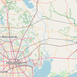
Satellite map of Grand Coteau, Louisiana
Grand Coteau is a town in St. Landry Parish, Louisiana, United States. The population was 1,040 at the 2000 census. Grand Coteau is on Interstate 49 south of Opelousas and is part of the Opelousas–Eunice Micropolitan Statistical Area. The town is a center for local farming.
Latitude: 30° 25' 4.79" N
Longitude: -92° 02' 31.80" W
Nearest city to this article: Sunset, Louisiana
Read about Grand Coteau, Louisiana in the Wikipedia Satellite map of Grand Coteau, Louisiana in Google Maps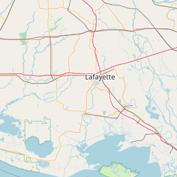


Leaflet | © OpenStreetMap contributors