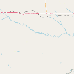
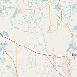
Latitude and longitude of Jamestown, North Dakota
- Nearby Jamestown, North Dakota, United States
Satellite map of Jamestown, North Dakota
Jamestown is a city in Stutsman County, North Dakota, United States. It is the county seat of Stutsman County. The population was 15,427 at the 2010 census, making it the ninth largest city in North Dakota.
Latitude: 46° 54' 11.99" N
Longitude: -98° 42' 6.59" W
Nearest city to this article: Jamestown, North Dakota
Read about Jamestown, North Dakota in the Wikipedia Satellite map of Jamestown, North Dakota in Google Maps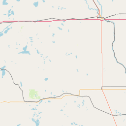

Leaflet | © OpenStreetMap contributors