Latitude and longitude of Umpqua Community College
- Nearby Roseburg, Oregon, United States
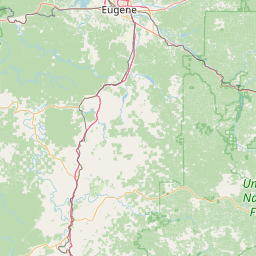
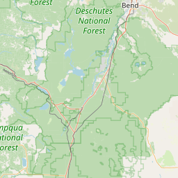
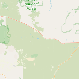
Satellite map of Umpqua Community College
Umpqua Community College (UCC) is a community college located approximately six miles (9.7 km) north of Roseburg, Oregon, United States. The college has sixteen campus buildings located on 100 acres (40 ha) bordering the North Umpqua River. The campus also features a track, tennis courts, and an outdoor pool.
Latitude: 43° 17' 23.38" N
Longitude: -123° 19' 57.50" W
Nearest city to this article: Roseburg North
Read about Umpqua Community College in the Wikipedia Satellite map of Umpqua Community College in Google Maps


Leaflet | © OpenStreetMap contributors