Latitude and longitude of Lake Sylvia State Park
- Nearby Aberdeen, Washington, United States
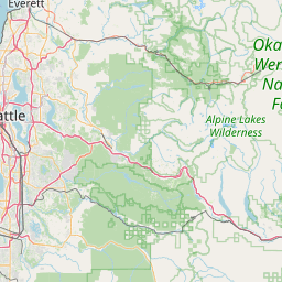
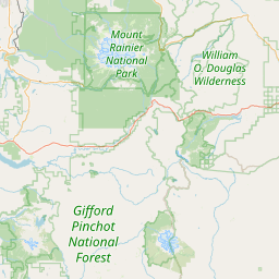
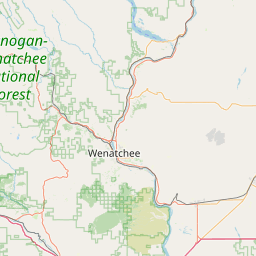
Satellite map of Lake Sylvia State Park
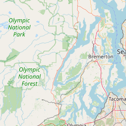
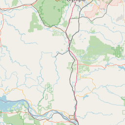
Lake Sylvia State Park is a 233-acre (94 ha) state-operated, public recreation area bordering the north edge of Montesano in Grays Harbor County, Washington.
Latitude: 47° 00' 0.00" N
Longitude: -123° 35' 24.00" W
Nearest city to this article: Montesano
Read about Lake Sylvia State Park in the Wikipedia Satellite map of Lake Sylvia State Park in Google Maps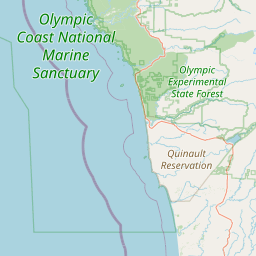


Leaflet | © OpenStreetMap contributors