Latitude and longitude of Cecilia, Kentucky
- Nearby Elizabethtown, Kentucky, United States
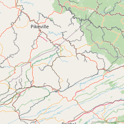
Satellite map of Cecilia, Kentucky
Cecilia is a census-designated place and unincorporated community in Hardin County, Kentucky, United States. It is located approximately 5 miles (8.0 km) west of Elizabethtown, the county seat. The town was formerly called Cecilian Junction because of its location at the junction of the Illinois Central Railroad's of its Louisville-Paducah main line and its branch to Hodgenville (The line now belongs to the Paducah and Louisville Railway, and the branch is now truncated to Elizabethtown).
Latitude: 37° 39' 34.19" N
Longitude: -85° 57' 14.39" W
Nearest city to this article: Elizabethtown, Kentucky
Read about Cecilia, Kentucky in the Wikipedia Satellite map of Cecilia, Kentucky in Google Maps


Leaflet | © OpenStreetMap contributors