Latitude and longitude of Angel Fire, New Mexico
- Nearby Ranchos de Taos, United States
Satellite map of Angel Fire, New Mexico
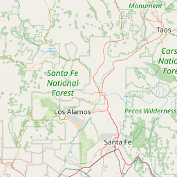
Angel Fire is a village in Colfax County, New Mexico, United States. The population was 1,216 at the 2010 census. It is a popular ski resort destination, with over 500 acres (2.0 km2) of slopes.
Latitude: 36° 22' 26.39" N
Longitude: -105° 17' 4.80" W
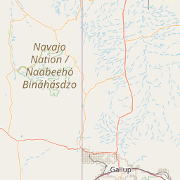

Leaflet | © OpenStreetMap contributors