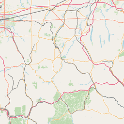
Latitude and longitude of Greater Rochester International Airport
- Nearby Brighton, New York, United States
Satellite map of Greater Rochester International Airport
Greater Rochester International Airport (IATA: ROC, ICAO: KROC, FAA LID: ROC) is three miles (6 km) southwest of downtown Rochester, in Monroe County, New York. It is owned and operated by Monroe County. The largest airline that serves the airport is Delta Air Lines with 26.5% of passengers flying on Delta.
Latitude: 43° 07' 4.80" N
Longitude: -77° 40' 12.59" W
Nearest city to this article: Rochester, New York
Read about Greater Rochester International Airport in the Wikipedia Satellite map of Greater Rochester International Airport in Google Maps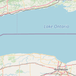


Leaflet | © OpenStreetMap contributors