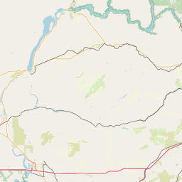
Latitude and longitude of Puyallup, Washington
- Nearby South Hill, Washington, United States
Satellite map of Puyallup, Washington
Puyallup, Washington (/pjuːˈæləp/ pew-AL-əp or /pjuːˈɔːləp/ pew-AWL-əp) is a city in Pierce County, Washington, about five miles (8 km) east of Tacoma.
Latitude: 47° 10' 19.80" N
Longitude: -122° 17' 22.20" W
Nearest city to this article: Puyallup, Washington
Read about Puyallup, Washington in the Wikipedia Satellite map of Puyallup, Washington in Google Maps

Leaflet | © OpenStreetMap contributors