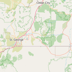
Latitude and longitude of Sand Hollow State Park
- Nearby Saint George, Utah, United States
Satellite map of Sand Hollow State Park
Sand Hollow State Park is a state park of Utah, USA, featuring a 1,322-acre (535 ha) reservoir and an extensive off highway vehicle recreation area on Sand Mountain.
Latitude: 37° 06' 60.00" N
Longitude: -113° 22' 59.99" W
Nearest city to this article: Hurricane
Read about Sand Hollow State Park in the Wikipedia Satellite map of Sand Hollow State Park in Google Maps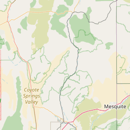

Leaflet | © OpenStreetMap contributors