Latitude and longitude of The Arboretum at Flagstaff
- Nearby Flagstaff, Arizona, United States
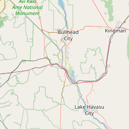
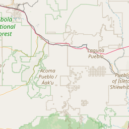
Satellite map of The Arboretum at Flagstaff
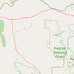
The Arboretum at Flagstaff is a 200-acre (81 ha) arboretum that is home to 2,500 species of mostly drought-tolerant adapted and native plants representative of the high-desert Colorado Plateau, home to the Grand Canyon and Zion National Park. It is located 3.8 miles (6.1 km) south of U.S. Route 66 on Woody Mountain Road, on the west side of Flagstaff, Arizona, USA. The facility is located at 7,150' in elevation, making it one of the highest-elevation public gardens in the United States.
Latitude: 35° 09' 22.20" N
Longitude: -111° 43' 31.79" W
Nearest city to this article: Kachina Village
Read about The Arboretum at Flagstaff in the Wikipedia Satellite map of The Arboretum at Flagstaff in Google Maps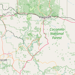

Leaflet | © OpenStreetMap contributors