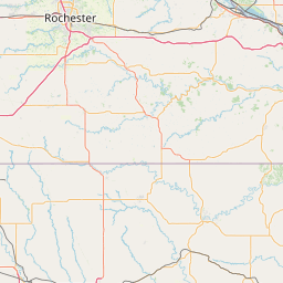
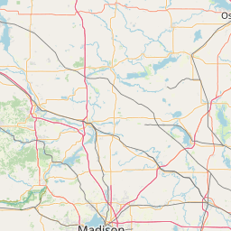
Latitude and longitude of Rochester International Airport
- Nearby Byron, Minnesota, United States
Satellite map of Rochester International Airport
Rochester International Airport (IATA: RST, ICAO: KRST) is a nonhub primary airport located seven miles (11 km) southwest of the central business district of Rochester, a city in Olmsted County, Minnesota, United States. It is the second busiest airport in Minnesota, however it is the third busiest airport for commercial airlines in Minnesota, behind Duluth International Airport.
Latitude: 43° 54' 17.99" N
Longitude: -92° 29' 59.99" W
Nearest city to this article: Stewartville, Minnesota
Read about Rochester International Airport in the Wikipedia Satellite map of Rochester International Airport in Google Maps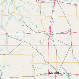

Leaflet | © OpenStreetMap contributors