Latitude and longitude of Lake Tapawingo, Missouri
- Nearby Lee's Summit, United States
Satellite map of Lake Tapawingo, Missouri
Lake Tapawingo is a city in Jackson County, Missouri, United States.
Latitude: 39° 01' 6.60" N
Longitude: -94° 18' 20.40" W
Nearest city to this article: Blue Springs, Missouri
Read about Lake Tapawingo, Missouri in the Wikipedia Satellite map of Lake Tapawingo, Missouri in Google Maps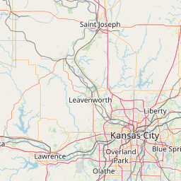


Leaflet | © OpenStreetMap contributors