Latitude and longitude of Westville, Indiana
- Nearby Michigan City, Indiana, United States
Satellite map of Westville, Indiana
Westville is a town in New Durham Township, LaPorte County, Indiana, United States. The population was 5,853 at the 2010 census. It is included in the Michigan City, Indiana-La Porte, Indiana Metropolitan Statistical Area.
Latitude: 41° 32' 26.99" N
Longitude: -86° 54' 8.99" W
Nearest city to this article: Westville, Indiana
Read about Westville, Indiana in the Wikipedia Satellite map of Westville, Indiana in Google Maps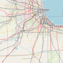


Leaflet | © OpenStreetMap contributors