Latitude and longitude of Cholla High Magnet School
- Nearby Oro Valley, United States
Satellite map of Cholla High Magnet School
Cholla High School (also known as Cholla High Magnet School) is a public high school, located on the West Side of Tucson, Arizona. Cholla is a magnet high school (drawing students from the entire district) in the Tucson Unified School District and serves over 1,700 students, grades 9-12. The school name originates from the Cholla Cactus which are very prominent throughout Tucson and Arizona.
Latitude: 32° 12' 20.75" N
Longitude: -111° 00' 37.40" W
Nearest city to this article: South Tucson
Read about Cholla High Magnet School in the Wikipedia Satellite map of Cholla High Magnet School in Google Maps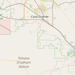

Leaflet | © OpenStreetMap contributors