Latitude and longitude of Myrtle Creek Municipal Heliport
- Nearby Myrtle Creek, Oregon, United States
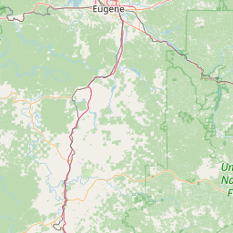
Satellite map of Myrtle Creek Municipal Heliport
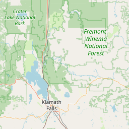
Myrtle Creek Municipal Heliport (FAA LID: OG62) is a private Heliport located 3 miles southeast of Myrtle Creek in Douglas County, Oregon, USA.
Latitude: 43° 01' 14.40" N
Longitude: -123° 16' 30.00" W
Nearest city to this article: Myrtle Creek, Oregon
Read about Myrtle Creek Municipal Heliport in the Wikipedia Satellite map of Myrtle Creek Municipal Heliport in Google Maps


Leaflet | © OpenStreetMap contributors