Latitude and longitude of Millinocket Municipal Airport
- Nearby Millinocket, United States
Satellite map of Millinocket Municipal Airport
Millinocket Municipal Airport (IATA: MLT, ICAO: KMLT, FAA LID: MLT) is a town-owned, public-use airport located one nautical mile (2 km) southeast of the central business district of Millinocket, a town in Penobscot County, Maine, United States.
Latitude: 45° 38' 31.19" N
Longitude: -68° 41' 4.79" W
Nearest city to this article: Millinocket
Read about Millinocket Municipal Airport in the Wikipedia Satellite map of Millinocket Municipal Airport in Google Maps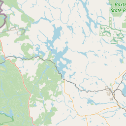

Leaflet | © OpenStreetMap contributors