Latitude and longitude of Branch Village, Rhode Island
- Nearby Cranston, Rhode Island, United States
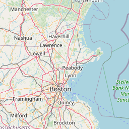
Satellite map of Branch Village, Rhode Island
Branch Village is a village located on Rhode Island Route 146A ("Great Road") near the intersection of St. Paul Street in North Smithfield.
Latitude: 41° 59' 32.99" N
Longitude: -71° 32' 32.99" W
Nearest city to this article: Woonsocket
Read about Branch Village, Rhode Island in the Wikipedia Satellite map of Branch Village, Rhode Island in Google Maps


Leaflet | © OpenStreetMap contributors