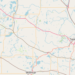
Latitude and longitude of Maple Lake Municipal Airport
- Nearby Zimmerman, Minnesota, United States
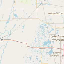
Satellite map of Maple Lake Municipal Airport
Maple Lake Municipal Airport (ICAO: KMGG, FAA LID: MGG) is a city-owned, public-use airport located one nautical mile (2 km) northeast of the central business district of Maple Lake, a city in Wright County, Minnesota, United States.
Latitude: 45° 14' 6.00" N
Longitude: -93° 59' 4.79" W

Leaflet | © OpenStreetMap contributors