Latitude and longitude of Milladore, Wisconsin
- Nearby Wisconsin Rapids, United States
Satellite map of Milladore, Wisconsin
Milladore is a village in Wood County and over lapping into Portage County in the U.S. state of Wisconsin. The population was 276 at the 2010 census. Most of the village is located within the Town of Milladore in Wood County, while only a very small portion of the village lies in Portage County.
Latitude: 44° 36' 8.99" N
Longitude: -89° 51' 4.79" W
Nearest city to this article: Wisconsin Rapids
Read about Milladore, Wisconsin in the Wikipedia Satellite map of Milladore, Wisconsin in Google Maps


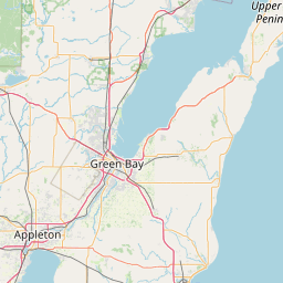


Leaflet | © OpenStreetMap contributors