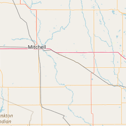
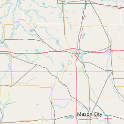
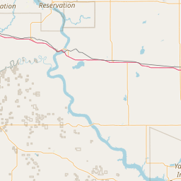
Latitude and longitude of Sheldon High School (Sheldon, Iowa)
- Nearby Sheldon, Iowa, United States
Satellite map of Sheldon High School (Sheldon, Iowa)
Sheldon High School is a public high school in Sheldon, Iowa, serving students of the Sheldon Community School District in grades 9-12. The school mascot is the Orab, a portmanteau of the school colors, orange and black.
Latitude: 43° 11' 2.40" N
Longitude: -95° 50' 6.00" W
Nearest city to this article: Sheldon, Iowa
Read about Sheldon High School (Sheldon, Iowa) in the Wikipedia Satellite map of Sheldon High School (Sheldon, Iowa) in Google Maps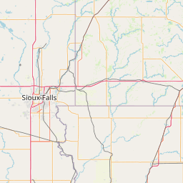
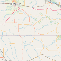

Leaflet | © OpenStreetMap contributors