Latitude and longitude of Benton County, Missouri
- Nearby Riverview, Missouri, United States
Satellite map of Benton County, Missouri
Benton County is a county located in the west central part of the U.S. state of Missouri. The population was 19,056 as of the 2010 U.S. Census. Its county seat is Warsaw. The county was organized January 3, 1835, and named for U.S.
Latitude: 38° 17' 60.00" N
Longitude: -93° 17' 24.00" W


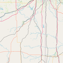

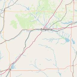


Leaflet | © OpenStreetMap contributors