Latitude and longitude of Hueco Tanks
- Nearby Homestead Meadows South, United States
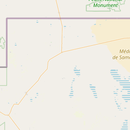
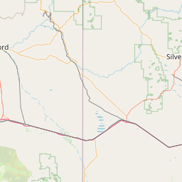
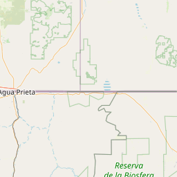
Satellite map of Hueco Tanks
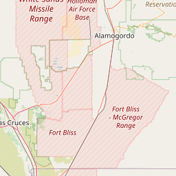
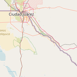
Hueco Tanks is an area of low mountains in El Paso County, Texas, in the United States. It is located in a high-altitude desert basin between the Franklin Mountains to the west and the Hueco Mountains to the east. Hueco is a Spanish word meaning hollows and refers to the many water-holding depressions in the boulders and rock faces throughout the region. Hueco Tanks is thus a redundant phrase. Due to the unique concentration of historic artifacts, plants and wildlife, the site is under protection of Texas law; it is a crime to remove, alter, or destroy them, although before the park was formed, considerable changes were attempted during private ownership. At one time, the site was the Escontrias Ranch. It was a stagecoach stop for the Butterfield Stage. The names of Texas Rangers and of US Cavalrymen, as well as Native American artifacts and paintings, attest to its historic nature.
Latitude: 31° 55' 1.79" N
Longitude: -106° 02' 21.00" W
Nearest city to this article: Homestead Meadows North
Read about Hueco Tanks in the Wikipedia Satellite map of Hueco Tanks in Google Maps