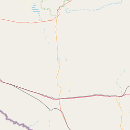
Latitude and longitude of Butterfield, Texas
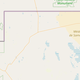
- Nearby Homestead Meadows South, United States
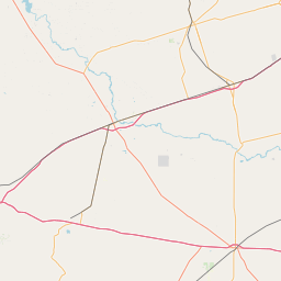
Satellite map of Butterfield, Texas
Butterfield is a census-designated place (CDP) in El Paso County, Texas, United States. The population was 114 at the 2010 census. It is part of the El Paso Metropolitan Statistical Area.
Latitude: 31° 50' 1.79" N
Longitude: -106° 05' 20.40" W
Nearest city to this article: Homestead Meadows South
Read about Butterfield, Texas in the Wikipedia Satellite map of Butterfield, Texas in Google Maps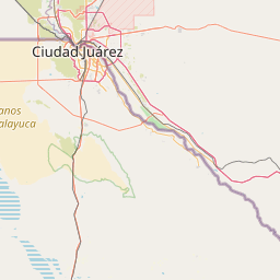

Leaflet | © OpenStreetMap contributors