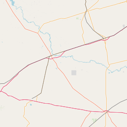
Latitude and longitude of Ysleta del Sur Pueblo
- Nearby Homestead Meadows North, United States
Satellite map of Ysleta del Sur Pueblo
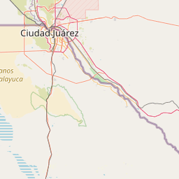
Ysleta del Sur Pueblo (also Tigua Pueblo) is a Puebloan Native American tribal entity in the Ysleta section of El Paso, Texas, comprising a formerly Southern Tiwa-speaking people who were displaced from New Mexico in 1680 and 1681 during the Pueblo Revolt against the Spaniards.
Latitude: 31° 41' 5.39" N
Longitude: -106° 19' 19.20" W
Nearest city to this article: Socorro, Texas
Read about Ysleta del Sur Pueblo in the Wikipedia Satellite map of Ysleta del Sur Pueblo in Google Maps

Leaflet | © OpenStreetMap contributors