Latitude and longitude of Newman, Texas
- Nearby Homestead Meadows North, United States
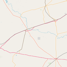
Satellite map of Newman, Texas
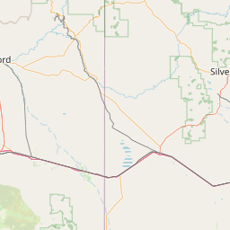
Newman is a small El Paso neighborhood in far Northeast El Paso, located some 16 miles northeast of downtown El Paso around the intersection of Dyer Street and Edge of Texas Drive on the New Mexico state line, and still sometimes described as a separate community.
Latitude: 31° 59' 31.19" N
Longitude: -106° 19' 24.00" W
Nearest city to this article: Chaparral, New Mexico
Read about Newman, Texas in the Wikipedia Satellite map of Newman, Texas in Google Maps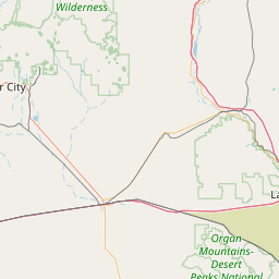

Leaflet | © OpenStreetMap contributors