Latitude and longitude of Dowagiac River
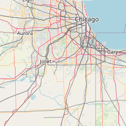
- Nearby Granger, Indiana, United States
Satellite map of Dowagiac River
The Dowagiac River is a 30.9-mile-long (49.7 km) stream in the Lower Peninsula of the U.S.
Latitude: 41° 58' 32.99" N
Longitude: -86° 10' 9.60" W
Nearest city to this article: Dowagiac
Read about Dowagiac River in the Wikipedia Satellite map of Dowagiac River in Google Maps


Leaflet | © OpenStreetMap contributors