Latitude and longitude of Columbus Municipal Airport (Nebraska)
- Nearby Columbus, Nebraska, United States
Satellite map of Columbus Municipal Airport (Nebraska)
Columbus Municipal Airport (IATA: OLU, ICAO: KOLU, FAA LID: OLU) is a mile (2 km) northeast of Columbus, in Platte County, Nebraska. It is owned by the Columbus Airport Authority.
Latitude: 41° 26' 31.79" N
Longitude: -97° 20' 20.40" W
Nearest city to this article: Columbus, Nebraska
Read about Columbus Municipal Airport (Nebraska) in the Wikipedia Satellite map of Columbus Municipal Airport (Nebraska) in Google Maps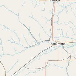
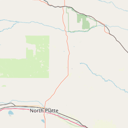

Leaflet | © OpenStreetMap contributors