Latitude and longitude of Damascus, Arkansas
- Nearby Clinton, Arkansas, United States
Satellite map of Damascus, Arkansas
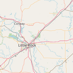
Damascus is a city in Faulkner and Van Buren counties in the central part of the U.S. state of Arkansas. Its portion within Faulkner County is part of the Little Rock–North Little Rock–Conway Metropolitan Statistical Area.
Latitude: 35° 22' 0.59" N
Longitude: -92° 24' 22.19" W
Nearest city to this article: Greenbrier, Arkansas
Read about Damascus, Arkansas in the Wikipedia Satellite map of Damascus, Arkansas in Google Maps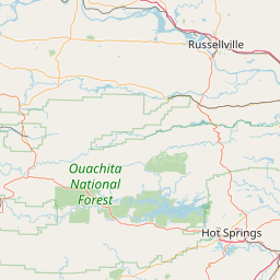

Leaflet | © OpenStreetMap contributors