Latitude and longitude of San Jerónimo, Chihuahua
- Nearby Canutillo, United States
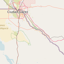
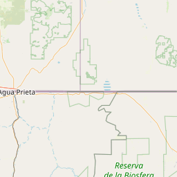
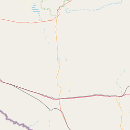
Satellite map of San Jerónimo, Chihuahua
San Jerónimo is a port of entry in the Mexican state of Chihuahua, across the U.S. border from Santa Teresa, New Mexico.
Latitude: 31° 46' 55.30" N
Longitude: -106° 40' 56.63" W
Nearest city to this article: Santa Teresa, New Mexico
Read about San Jerónimo, Chihuahua in the Wikipedia Satellite map of San Jerónimo, Chihuahua in Google Maps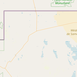
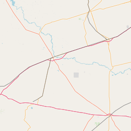

Leaflet | © OpenStreetMap contributors