Latitude and longitude of Santa Teresa, New Mexico
- Nearby Canutillo, United States
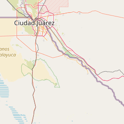
Satellite map of Santa Teresa, New Mexico
Santa Teresa is a census-designated place (CDP) in Doña Ana County, New Mexico, United States. The population was 4258 at the 2010 census.
Latitude: 31° 51' 7.19" N
Longitude: -106° 38' 17.39" W
Nearest city to this article: Santa Teresa, New Mexico
Read about Santa Teresa, New Mexico in the Wikipedia Satellite map of Santa Teresa, New Mexico in Google Maps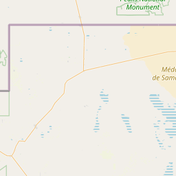
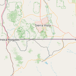

Leaflet | © OpenStreetMap contributors