Latitude and longitude of Franklin Canal (Texas)
- Nearby Canutillo, United States
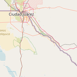
Satellite map of Franklin Canal (Texas)
The Franklin Canal is an irrigation canal in the Upper Rio Grande Valley near El Paso, Texas. The canal acquires water from the Rio Grande via the American Canal. The canal is 28.4 miles (45.7 km) long with a capacity of 325 cubic feet per second.
Latitude: 31° 45' 25.19" N
Longitude: -106° 30' 17.99" W
Nearest city to this article: El Paso
Read about Franklin Canal (Texas) in the Wikipedia Satellite map of Franklin Canal (Texas) in Google Maps

Leaflet | © OpenStreetMap contributors