Latitude and longitude of History of El Paso, Texas
- Nearby Canutillo, United States
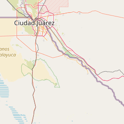
Satellite map of History of El Paso, Texas
The history of El Paso, Texas, in the United States spans a period from the middle of the Spanish Imperial period to modern day.
Latitude: 31° 47' 14.99" N
Longitude: -106° 25' 14.39" W
Nearest city to this article: Fort Bliss
Read about History of El Paso, Texas in the Wikipedia Satellite map of History of El Paso, Texas in Google Maps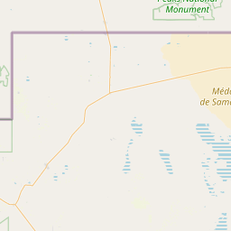

Leaflet | © OpenStreetMap contributors