Latitude and longitude of Westway, Texas
- Nearby Canutillo, United States
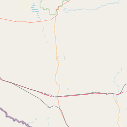
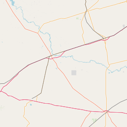
Satellite map of Westway, Texas
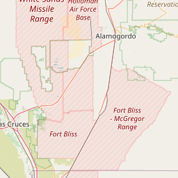
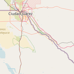
Westway is a census-designated place (CDP) in El Paso County, Texas, United States. The population was 4,188 at the 2010 census. It is part of the El Paso Metropolitan Statistical Area. It is located east of Interstate 10 about 2 miles (3 km) from the New Mexico - Texas state line.
Latitude: 31° 57' 33.17" N
Longitude: -106° 34' 27.01" W
Nearest city to this article: Westway, Texas
Read about Westway, Texas in the Wikipedia Satellite map of Westway, Texas in Google Maps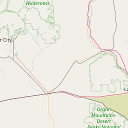

Leaflet | © OpenStreetMap contributors