Latitude and longitude of Angel's Triangle, El Paso, Texas
- Nearby Canutillo, United States
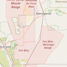
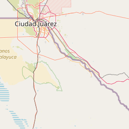
Satellite map of Angel's Triangle, El Paso, Texas
Angel's Triangle is a neighborhood located in Northeast El Paso in El Paso, Texas. It lies within a right triangle bordered by Dyer Street on the east, the Patriot Freeway (U.S. Route 54) on the west, and Hondo Pass Avenue on the north. Dominated by apartment complexes and older duplexes or single-family homes with a high poverty rate among its residents, and once notorious for crime, drug trafficking and prostitution, it was known as the Devil's Triangle before being officially renamed at a meeting of its residents in the 1990s, and is still sometimes referred to as such, or as the Triangle.
Latitude: 31° 52' 31.86" N
Longitude: -106° 26' 0.24" W
Nearest city to this article: Fort Bliss
Read about Angel's Triangle, El Paso, Texas in the Wikipedia Satellite map of Angel's Triangle, El Paso, Texas in Google Maps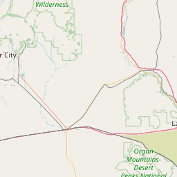

Leaflet | © OpenStreetMap contributors