Latitude and longitude of Henderson Field (North Carolina)
- Nearby Burgaw, United States
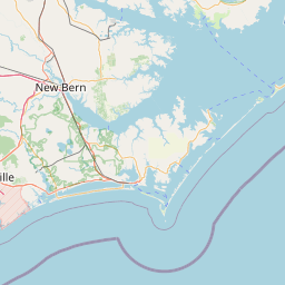
Satellite map of Henderson Field (North Carolina)
Henderson Field (ICAO: KACZ, FAA LID: ACZ) is a public airport located one mile (2 km) southwest of the central business district (CBD) of Wallace, a town in Duplin County, North Carolina, USA.
Latitude: 34° 43' 2.39" N
Longitude: -78° 00' 7.80" W
Nearest city to this article: Wallace, North Carolina
Read about Henderson Field (North Carolina) in the Wikipedia Satellite map of Henderson Field (North Carolina) in Google Maps


Leaflet | © OpenStreetMap contributors