Latitude and longitude of Betty Adkins Bridge
- Nearby Big Lake, Minnesota, United States
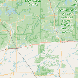
Satellite map of Betty Adkins Bridge
Betty Adkins Bridge is a pair of concrete girder bridges spanning the Mississippi River between Otsego, Minnesota and Elk River, Minnesota. The northbound bridge was built in 2001, replacing a plate girder bridge that was originally built in 1967 as a two-lane bridge for Minnesota State Highway 101 when the highway was rerouted around Elk River.
Latitude: 45° 17' 11.40" N
Longitude: -93° 33' 17.39" W
Nearest city to this article: Otsego, Minnesota
Read about Betty Adkins Bridge in the Wikipedia Satellite map of Betty Adkins Bridge in Google Maps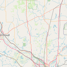

Leaflet | © OpenStreetMap contributors