Latitude and longitude of Hanover, Minnesota
- Nearby Big Lake, Minnesota, United States
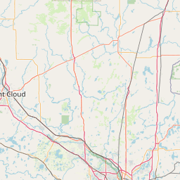
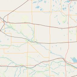
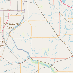
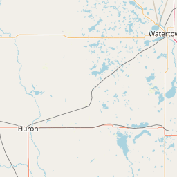
Satellite map of Hanover, Minnesota
Hanover is a city in Wright and Hennepin counties in the U.S. state of Minnesota. The population was 2,938 at the 2010 census.
Latitude: 45° 09' 12.60" N
Longitude: -93° 39' 35.39" W
Nearest city to this article: Hanover, Minnesota
Read about Hanover, Minnesota in the Wikipedia Satellite map of Hanover, Minnesota in Google Maps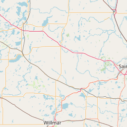


Leaflet | © OpenStreetMap contributors