Latitude and longitude of Highway 25 Bridge (Minnesota)
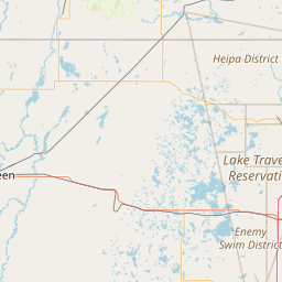
- Nearby Becker, Minnesota, United States
Satellite map of Highway 25 Bridge (Minnesota)
Highway 25 Bridge is a concrete girder bridge that spans the Mississippi River between Monticello, Minnesota and Big Lake, Minnesota.
Latitude: 45° 18' 18.60" N
Longitude: -93° 47' 17.39" W
Nearest city to this article: Monticello, Minnesota
Read about Highway 25 Bridge (Minnesota) in the Wikipedia Satellite map of Highway 25 Bridge (Minnesota) in Google Maps

Leaflet | © OpenStreetMap contributors