Latitude and longitude of Saint Francis High School (Saint Francis, Minnesota)
- Nearby Becker, Minnesota, United States
Satellite map of Saint Francis High School (Saint Francis, Minnesota)
Saint Francis High School (SFHS) is a high school located in St. Francis, Minnesota. It is part of ISD 15 and covers about 165 square miles. Independent School District 15 includes the cities of St. Francis, Bethel, East Bethel, Oak Grove, portions of Andover and Nowthen, as well as portions of Athens and Stanford townships. The district is supported by a population of over 26,000 and annually educates about 6,000 people.
Latitude: 45° 23' 10.19" N
Longitude: -93° 20' 59.99" W
Nearest city to this article: Saint Francis, Minnesota
Read about Saint Francis High School (Saint Francis, Minnesota) in the Wikipedia Satellite map of Saint Francis High School (Saint Francis, Minnesota) in Google Maps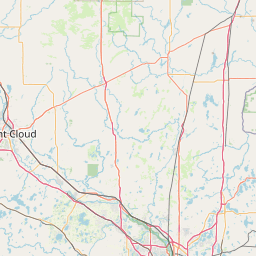

Leaflet | © OpenStreetMap contributors