Latitude and longitude of Jesuit High School (New Orleans)
- Nearby River Ridge, Louisiana, United States
Satellite map of Jesuit High School (New Orleans)
Jesuit High School is an all-male college-preparatory Catholic high school in New Orleans, Louisiana. The school was founded in 1847 by the Society of Jesus (the Jesuits). It is centrally located in a New Orleans neighborhood known as Mid-City.
Latitude: 29° 58' 13.79" N
Longitude: -90° 06' 7.50" W
Nearest city to this article: Jefferson, Louisiana
Read about Jesuit High School (New Orleans) in the Wikipedia Satellite map of Jesuit High School (New Orleans) in Google Maps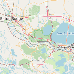


Leaflet | © OpenStreetMap contributors