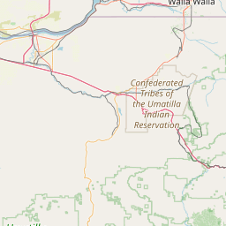
Latitude and longitude of Umatilla Chemical Depot
- Nearby Umatilla, Oregon, United States
Satellite map of Umatilla Chemical Depot
The Umatilla Chemical Depot, (UMCD) based in Umatilla, Oregon, was a U.S. Army installation in the United States that stored chemical weapons. The chemical weapons originally stored at the depot consisted of various munitions and ton containers containing GB and VX nerve agents and HD blister agent. All munitions have been safely destroyed by 2011 and base closure operation are expected to be completed by 2015.
Latitude: 45° 50' 20.99" N
Longitude: -119° 26' 10.19" W
Nearest city to this article: Hermiston, Oregon
Read about Umatilla Chemical Depot in the Wikipedia Satellite map of Umatilla Chemical Depot in Google Maps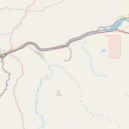

Leaflet | © OpenStreetMap contributors