Latitude and longitude of Pascagoula River High Rise Bridge
- Nearby Gulf Hills, United States
Satellite map of Pascagoula River High Rise Bridge
The Pascagoula River High Rise Bridge is a bridge in the U.S. state of Mississippi which carries U.S. Route 90 over the East Branch of the Pascagoula River between Gautier and Pascagoula.
Latitude: 30° 22' 19.62" N
Longitude: -88° 33' 45.03" W
Nearest city to this article: Pascagoula
Read about Pascagoula River High Rise Bridge in the Wikipedia Satellite map of Pascagoula River High Rise Bridge in Google Maps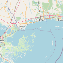


Leaflet | © OpenStreetMap contributors