Latitude and longitude of Cambridge Municipal Airport (Minnesota)
- Nearby Cambridge, United States
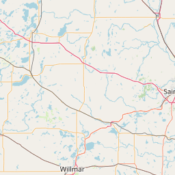
Satellite map of Cambridge Municipal Airport (Minnesota)
Cambridge Municipal Airport (ICAO: KCBG, FAA LID: CBG) is a city-owned, public-use airport located two miles (3 km) southwest of the central business district of Cambridge, a city in Isanti County, Minnesota, United States.
Latitude: 45° 33' 16.19" N
Longitude: -93° 15' 30.60" W
Nearest city to this article: Waite Park
Read about Cambridge Municipal Airport (Minnesota) in the Wikipedia Satellite map of Cambridge Municipal Airport (Minnesota) in Google Maps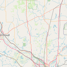

Leaflet | © OpenStreetMap contributors