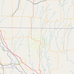
Latitude and longitude of Brown County High School
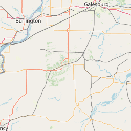
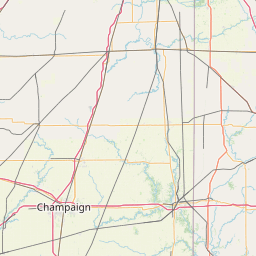
- Nearby Beardstown, Illinois, United States
Satellite map of Brown County High School
Brown County High School, or BCHS, is a public four-year high school located at 500 East Main Street in Mount Sterling, Illinois, a small city in Brown County, Illinois, in the Midwestern United States. BCHS serves the communities of Mount Sterling, Ripley, Timewell, and Versailles.
Latitude: 39° 58' 58.80" N
Longitude: -90° 45' 7.20" W


Leaflet | © OpenStreetMap contributors