Latitude and longitude of Lake Oroville State Recreation Area
- Nearby Thermalito, United States
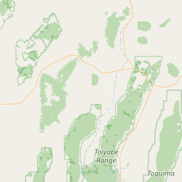
Satellite map of Lake Oroville State Recreation Area
Lake Oroville State Recreation Area (LOSRA) is a state park unit of California, United States, surrounding Lake Oroville, a reservoir on the Feather River. It is located in Butte County outside Oroville, California.
Latitude: 39° 33' 29.39" N
Longitude: -121° 27' 13.79" W
Nearest city to this article: Oroville East
Read about Lake Oroville State Recreation Area in the Wikipedia Satellite map of Lake Oroville State Recreation Area in Google Maps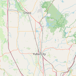

Leaflet | © OpenStreetMap contributors