Latitude and longitude of Kokee Ditch
- Nearby Kekaha, United States
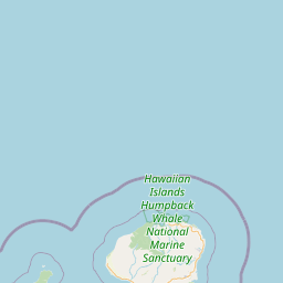
Satellite map of Kokee Ditch
The Kōkeʻe Ditch is an irrigation canal on the island of Kauaʻi.
Latitude: 22° 04' 32.40" N
Longitude: -159° 40' 20.99" W
Nearest city to this article: Kekaha
Read about Kokee Ditch in the Wikipedia Satellite map of Kokee Ditch in Google Maps


Leaflet | © OpenStreetMap contributors