Latitude and longitude of Paradise Hills, San Diego
Satellite map of Paradise Hills, San Diego
Paradise Hills is a neighborhood in the southeastern area of the city of San Diego, California. It is an outlying neighborhood adjacent to the independent city of National City and the unincorporated communities of Lincoln Acres and certain portions of Bonita.
Latitude: 32° 40' 33.60" N
Longitude: -117° 03' 28.80" W
Nearest city to this article: National City, California
Read about Paradise Hills, San Diego in the Wikipedia Satellite map of Paradise Hills, San Diego in Google Maps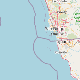


Leaflet | © OpenStreetMap contributors